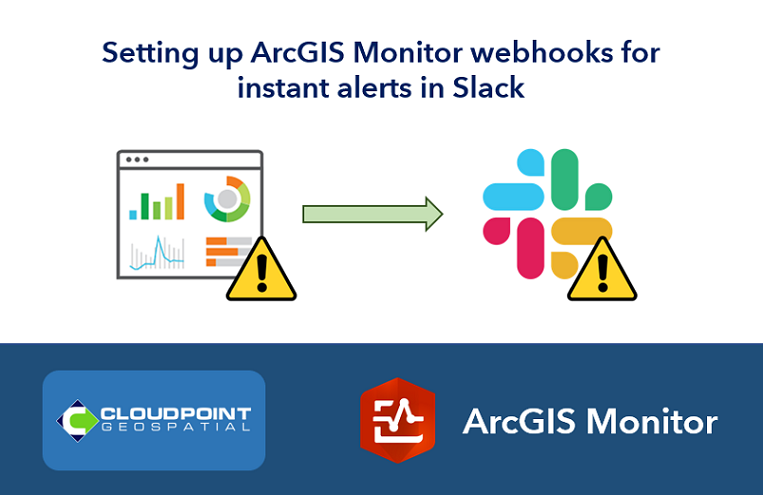
techhub.social is one of the many independent Mastodon servers you can use to participate in the fediverse.
A hub primarily for passionate technologists, but everyone is welcome

Administered by:

Server stats:

5.4K
active users

#arcgis

5 posts5 participants0 posts today

#OpenStreetMap #GISChat question: Our county has very high quality (3-inch resolution) aerial imagery: lio.danecounty.gov/services/fl The main way they make it available is through an #ArcGIS web portal: dcimapapps.countyofdane.com/dc but you can also download GeoTIFFs.

This would be an amazing data source for OpenStreetMap if the licensing allowed for it. Has anyone had success in getting permission to use similar datasets for OSM from a gov agency? Any email templates to ask for it?