techhub.social is one of the many independent Mastodon servers you can use to participate in the fediverse.
A hub primarily for passionate technologists, but everyone is welcome

Administered by:

Server stats:

4.9K
active users

#eddies

0 posts0 participants0 posts today

Small #ocean swirls may have an outsized affect on #climate, #NASA #satellite shows
Surface Water and Ocean Topography (#SWOT) satellite lets scientists observe small-scale #eddies and waves for the first time. Its Ka-band Radar Interferometer scans 120-km-wide swaths of sea surface height, delivering two-dimensional measurements with far greater resolution and lower noise than earlier altimeters. The satellite's 21-day orbit enables repeated global coverage.
theregister.com/2025/04/17/sma

The Register · Small ocean swirls may have an outsized affect on climate, NASA satellite showsBy Lindsay Clark

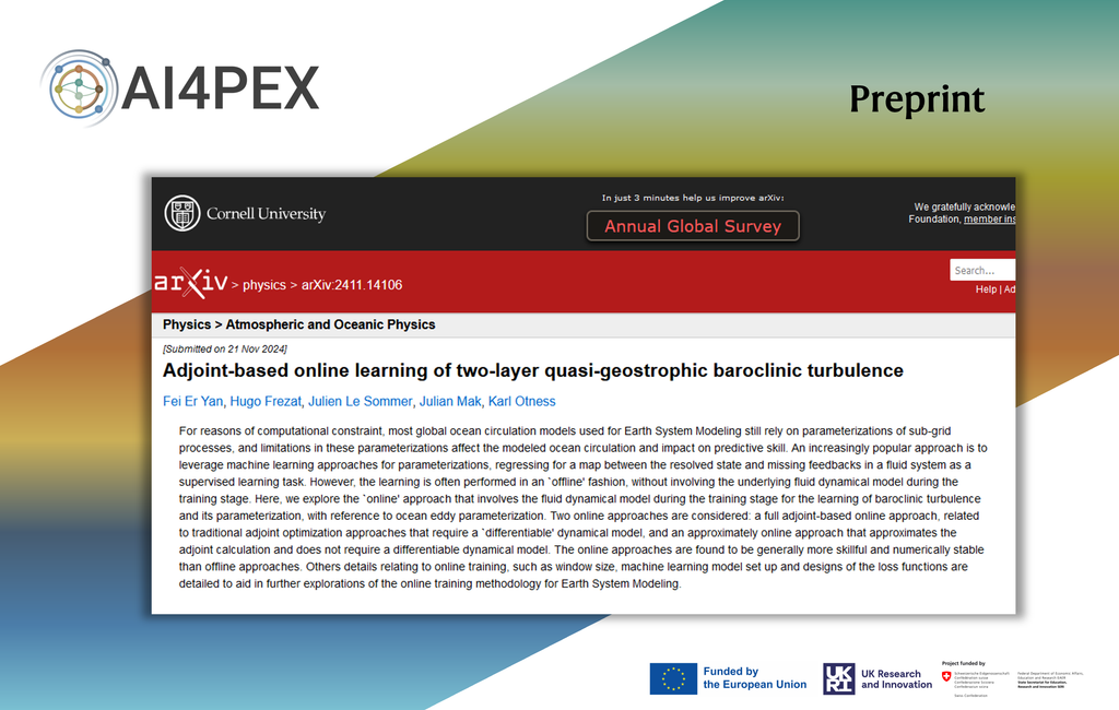
🎆 Happy New Year 2025! ✨

This year #AI4PEX goal is to improve the representation of three important processes in climate models:

(i) the response of tropical and subtropical low clouds to #warming;
(ii) the vegetation response to increased CO2;
(iii) role of mesoscale processes (#eddies) in the ocean.

Lines of Ice Eddies

In February 2024, the North Atlantic’s sea ice reached its furthest extent of the season, limning the coastline with tens of kilometers of ice. These images — both capturing the Labrador coast on the same day — show the swirling patterns marking the wispy edges of ice field. In this region, the ice is likely following an eddy in the ocean below. Eddies like these can form along the edges where warm and cold currents meet. An ice eddy is particularly special, though, as the water must be warm enough to fragment the sea ice, but not so warm that it melts the smaller ice pieces. (Image credit: top – NASA, lower – M. Garrison; via NASA Earth Observatory)

This satellite image shows sea ice off the Labrador coast, on the same day in February 2024.

Captured in March 2024, this satellite image of the Gulf of Oman comes from an instrument aboard the PACE spacecraft. The picture of a phytoplankton bloom is not quite natural-color, at least not as our eyes would see it. Instead, engineers combined data taken from multiple wavelengths and adjusted it to bring out the fine details. It’s not what we’d see by eye, but every feature you see here is real.

Traditionally, the only way to identify the species of a phytoplankton bloom like this one is by taking a sample directly. But PACE’s instruments can detect hundreds of wavelengths of light, offering enough color detail that scientists may soon be able to identify and track phytoplankton species by satellite image alone. I wonder if distinguishing species could also provide some quantitative flow visualization from a series of these images. In the meantime, at least we can enjoy the view! (Image credit: J. Knuble; via NASA Earth Observatory)

https://fyfluiddynamics.com/2024/09/swirls-of-green-and-teal/

Continued thread

The obstacle is a pencil, stationary, while the lazy Susan spins underneath with the fluid. The #rheoscopic fluid (easily made at home, more on that on another post) allows the currents to be seen easily. An instability makes the fluid "oscillate" and create the von Kármán vortices as it flows around the pencil. Here's a video:

[3/4]
#eddies #flowVisualization #fluidDynamics #fluidsAsArt #physics #science

Turbulent flows feature swirling eddies over a range of sizes — the larger the size range, the higher the Reynolds number. In this satellite image, sediment highlights these eddies in shades of turquoise, showing off the complexity of the flows created where rivers, ocean, and tides meet. The eddies we see here stretch from kilometers in width down to a handful of meters, but the flow’s turbulence persists down to millimeter-scales before viscosity damps it out. (Image credit: L. Dauphin; via NASA Earth Observatory)

https://fyfluiddynamics.com/2024/08/sediment-swirls/

A showcase of Saturn's active atmosphere! View of the #dynamics of #Saturn #atmosphere at the visible #cloud layer, from our global #climate computer #model, highlighting #JetStream (red<>blue steps) #vortices (rounded red or blue areas) #waves (oscillations from red to blue) #eddies (random red and blue fluctuations). This is a #PotentialVorticity map and this comes from our paper, see free #arxiv #PDF version arxiv.org/pdf/1811.01250.pdf #astro #climate #FluidDynamics #gfd #astrodon #SolarSytem